Ordnance Survey Explorer OL 49 Pitlochry & Loch Tummel Map, Orange
The essential map for outdoor activities in Pitlochry and Loch Tummel. The OS Explorer Map is the Ordnance Survey\'s most detailed folding map and is recommended for anyone enjoying outdoor activities including walking, horse riding and off-road cycling. This map now comes with a digital version which you can download to your smartphone or tablet.FeaturesTaysidePitlochry1:25 000 scale (4 cm to 1 km \' 2.5 inches to 1 mile)This map comes with a digital version which you can download to your smartphone or tablet.
£10.00 £6.00
Similar Deals

Painmaster Micro Current Therapy Patches
£24.95
From Tower Health

Pelham and Strutt - Women\'s Shaper Briefs
£2.99
From Tower Health

Paingone Pen
£29.95
From Tower Health

SAD Light Therapy Lamp 10,000 Lux
£21.95
From Tower Health

Luxury Raised Bath Seat
£39.95
From Tower Health

Urasan Syrup (250ml)
£24.99
From Easylife Group

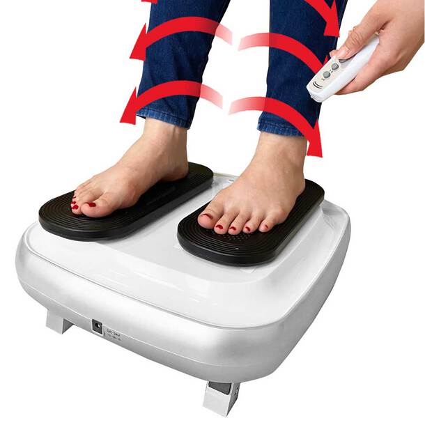
Deluxe Passive Leg Exerciser
£99.99
From Easylife Group

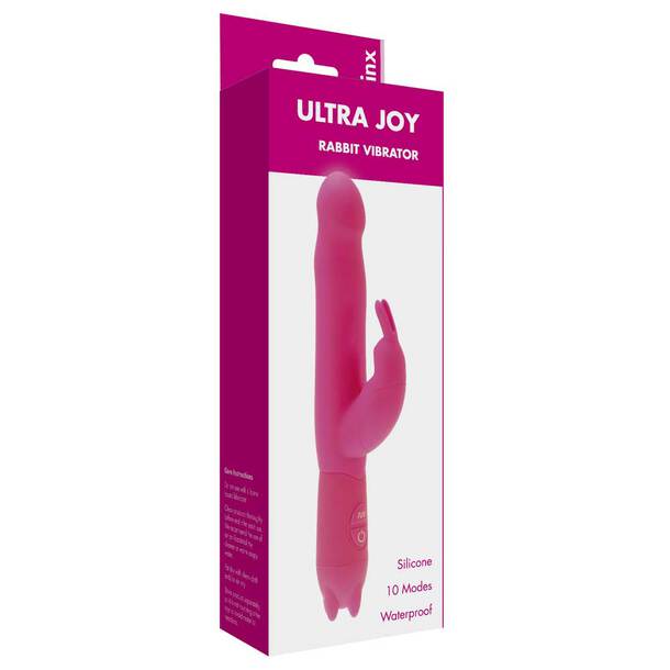
Ultra Joy
£19.99
From Easylife Group


