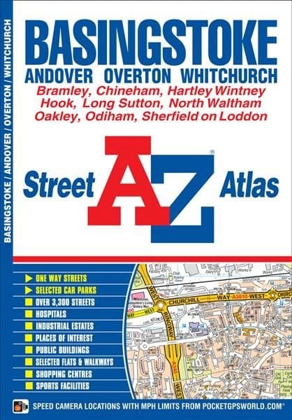
Basingstoke A-Z Street Atlas
This A-Z map of Basingstoke is a full colour street atlas featuring 36 pages of street mapping covering: *Basingstoke *Bramley *Sherfield on Loddon *Hartley Wintney *Hook *Odiham *South Warnborough *North Waltham *Oakley *Sherborne St. John *Chineham There is also separate coverage of: *Andover *Whitchurch *Overton Postcode districts, one-way streets and safety camera locations with their maximum speed limit are featured on the mapping. The index section lists streets, selected flats, walkways and places of interest, place, area and station names, hospitals and hospices covered by this atlas. This Basingstoke map is ideal for residents and visitors alike.
£4.50
Similar Deals
Save 19%

Keto: A Woman\'s Guide and Cookbook: Volume 13
£17.99
£14.64
From Wordery
Save 23%

Martin Parr
£30.00
£23.33
From Wordery
Save 24%

Holy Shit
£12.99
£9.93
From Wordery

Theories of Childhood, Second Edition
£26.50
From Wordery
Save 6%

Tripping over the Truth
£13.99
£13.28
From Wordery
Save 28%

The Alzheimer\'s Antidote
£22.50
£16.35
From Wordery
Save 25%

The Heal Your Gut Cookbook
£22.50
£16.98
From Wordery
Save 6%

Artisan Cheese Making at Home
£22.50
£21.30
From Wordery

