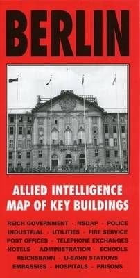
Berlin Intelligence Map
Published specially by After the Battle to coincide with the suspension of Allied occupation rights in Berlin in October 1990, this map was produced in 1944 by the War Office and lists the location and use of all important buildings in Berlin to be used in the occupation of the city. Every building associated with the Reich Government, NSDAP, police, fire service, Reichsbahn, U-Bahn, hospitals, telephone exchanges, embassies, prisons, etc., is numbered and referenced to an index printed on the reverse of the map. This sheet covers the central area at 1:12500.
£4.95
Similar Deals
Save 44%

Confident Parents, Confident Kids
£19.99
£11.20
From Wordery

UTM Security with Fortinet
£39.99
From Wordery

The Mata Book
£59.99
From Wordery
Save 20%

Circular Knitting Workshop
£16.99
£13.69
From Wordery
Save 7%

Antiquities in Motion - From Excavation Sites to Renaissance Collections
£60.84
£57.05
From Wordery
Save 20%

Shut It Down
£15.99
£12.86
From Wordery
Save 6%

Tripping over the Truth
£13.99
£13.28
From Wordery
Save 6%

Artisan Cheese Making at Home
£22.50
£21.30
From Wordery

