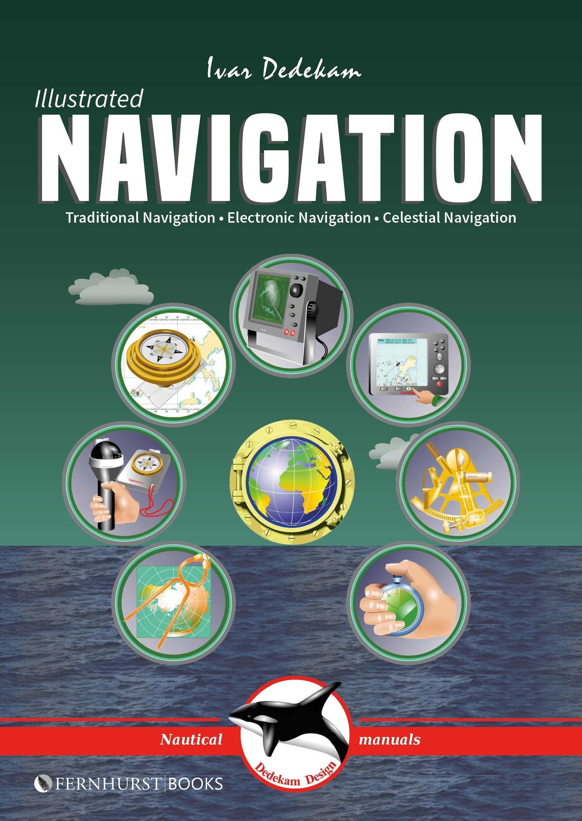
Illustrated Navigation - Traditional, Electronic & Celestial Navigation 3e
Today, yachts are often equipped with radar, GPS, chart plotters, AIS, etc. This equipment has also become much more reliable, making it possible to make long offshore passages without a great knowledge of navigation. However, such equipment can be set up wrongly, interpreted incorrectly, malfunction or lose power. In these circumstances, knowledge of traditional navigation can become extremely important. This book will teach you how to navigate in the traditional way using compass, log and plotter; and also how to navigate using electronic aids like GPS, radar and chart plotter. In addition, you will learn some basic celestial navigation using the sun and stars to obtain your position using sextant, almanacs, tables and a watch. Each method of navigation is explained alongside detailed illustrations and examples, combining to make a straightforward and easy-to-follow guide.
£13.99 £11.71
Similar Deals
Save 23%

The Ultimate Guide to Witchcraft: Volume 7
£16.99
£13.20
From Wordery
Save 23%

Martin Parr
£30.00
£23.33
From Wordery
Save 20%

Circular Knitting Workshop
£16.99
£13.69
From Wordery

Theories of Childhood, Second Edition
£26.50
From Wordery
Save 10%
Concrete - Case Studies in Conservation Practice
£45.59
£41.22
From Wordery
Save 7%

Tapestry Garden: The Art of Weaving Plants and Place
£25.00
£23.33
From Wordery
Save 27%

Air Plants: The Curious World of Tillandsias
£17.99
£13.24
From Wordery
Save 23%

Nourishment
£18.99
£14.63
From Wordery

