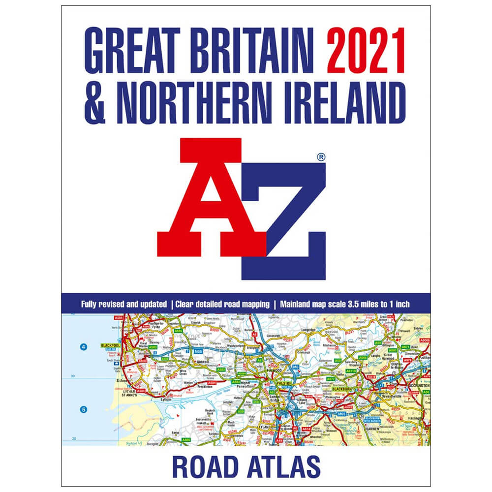
Great Britain A-Z Road Atlas 2022
An A4-size, spiral bound, full colour road atlas, now fully revised and updated. Clear detailed road mapping at a mainland map scale of 3.5 miles to 1 inch. Main features: • 11 pages of main route mapping covering Greater London, Birmingham and Manchester • Route planning maps • Mileage chart with average journey times • Information on motorway junctions with limited interchanges • 80 city and town centre street plans • 16 port and airport plans • Channel Tunnel terminus maps • Index to cities, towns, villages, hamlets, major destinations and selected places of interest with postcodes for satnav use • Map reference information also in French and German Instantly recognizable and easy to use, A-Z road mapping also includes the following features: Clear standard road classification colours for easy identification, Full motorway junction detail, Under construction and proposed roads, Primary route destinations, Service areas Selected truckstop locations, National and county boundaries and a wide range of tourist and ancillary information, including Blue Flag Beaches. Product Information: • ISBN: 9780008445010 • Author: A-Z Maps • Publisher: Geographers’ A-Z Map Co Ltd • Format: Spiral Bound • Pages: 280 • Dimensions: 29.69 x 21.01 x 2.03 cm
£4.00
Similar Deals

Holiday Activity Book
£7.99
From Stanfords

Futebol: The Brazilian Way of Life - Updated Edition
£9.99
From Stanfords

Where`s Boris?
£7.99
From Stanfords

First Sticker Book - Christmas Market
£4.99
From Stanfords

Who Am I?: A Peek-Through-Pages Book of Endangered Animals
£12.99
From Stanfords

On-the-Go Amusements: 50 Great Things to Do Outside
£7.99
From Stanfords

Rick and Morty: Talking Pickle Rick
£9.99
From Stanfords

Riddles Vol. 2 Quiz Deck
£7.99
From Stanfords

